Catlin Seaview Survey publishes ‘game-changing visual record’ of Great Barrier Reef
The Catlin Seaview Survey announced today that a complete visual and data record from its expeditions along the Great Barrier Reef is now available to anyone to use through the Catlin Global Reef Record.
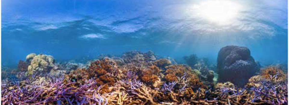
High-Definition Database - The Great Barrier Reef records, collected in collaboration with scientists from the Global Change Institute (GCI) at The University of Queensland, now include more than 100,000 images from 32 locations along the length of the UNESCO World Heritage Marine Site. The library of data and images is the most extensive published visual record of the Great Barrier Reef and includes 360-degree images, accurately GPS located.
Chief Scientist of the project, Professor Ove Hoegh-Guldberg, said: “This is the largest single collection of survey photographs of the Great Barrier Reef in history”.
The work was funded by global insurance company Catlin Group Limited. It is part of the Catlin Seaview Survey, which is documenting coral reefs around the world to create a baseline record of coral reef health. Through the imagery, the Survey is also revealing these underwater environments to a worldwide audience as well as providing important scientific information about the health of coral reefs on the Great Barrier Reef. Coral reefs are vulnerable to local stresses such as over-fishing and pollution, as well as climate change, making them some of the most fragile ecosystems in the ocean.
The Catlin Global Reef Record is a first-of-its-kind global database and standardised online research tool for coral reef ecosystems and is an important tool for scientists, marine park managers and conservation policy makers.
To mark the publication of the full database, images have also been released through Street View in Google Maps. Featuring 20 reefs, ranging across the entire length of the Great Barrier Reef, they are available for anyone to access and explore online.
Richard Vevers, Project Director of the Catlin Seaview Survey, said, “The survey is revolutionary in terms of the science, allowing us to assess the state of coral reefs 30 times faster than previous methods and to create a comprehensive baseline with which to monitor change. It is also revolutionary in terms of public engagement, allowing people to virtually explore these environments for the first time in history.”
The Catlin Seaview Survey uses a specially developed panoramic camera system mounted on an underwater scooter, the SVII, to produce high-definition images every three seconds. It enables the research team to survey on an unprecedented scale.
Re-survey of 2012 Great Barrier Reef Sites
Professor Hoegh-Guldberg also announced that GCI’s team of scientists will undertake the Catlin Seaview Survey’s first re-survey of areas included in its baseline survey. Supported by the Waitt Foundation, later this month (November 2014), the team will spend 14 days revisiting 11 reefs from the Cairns to the far northern sections of the Great Barrier Reef. The team will document the impact of the recent Tropical Cyclone Ita to these reefs when it struck the region in April this year. In addition, the re-survey will provide a current record in advance of potential coral bleaching events that may occur during the southern hemisphere’s summer.
“Our work in creating the baseline becomes even more powerful when a location we have surveyed is revisited by our own team or other researchers. The baseline enables scientists and marine park managers to assess what has changed and begin to understand how they are changing, what is causing those changes and how to best conserve them in future,” Professor Hoegh-Guldberg said.
Carl Gustaf Lundin, Director of the IUCN Global Marine and Polar Programme, and key partner to the Catlin Seaview Survey said: “The Catlin Seaview Survey is a game changer in coral reef management. Now reef managers have the ability to assess direct changes to their reefs over large areas and take action on an ecosystem wide scale”.
Jenifer Austin, Manager of the Google Ocean Program, said, “We are excited to be more than doubling our underwater Street View collection in partnership with Catlin Seaview Survey this month. This will make 27 new locations around Australia available in Google Maps - maps.google.com/ocean. This is just one example of how we’re working hard to build the most comprehensive, accurate and usable map of the world - complete with unique and beautiful imagery.


